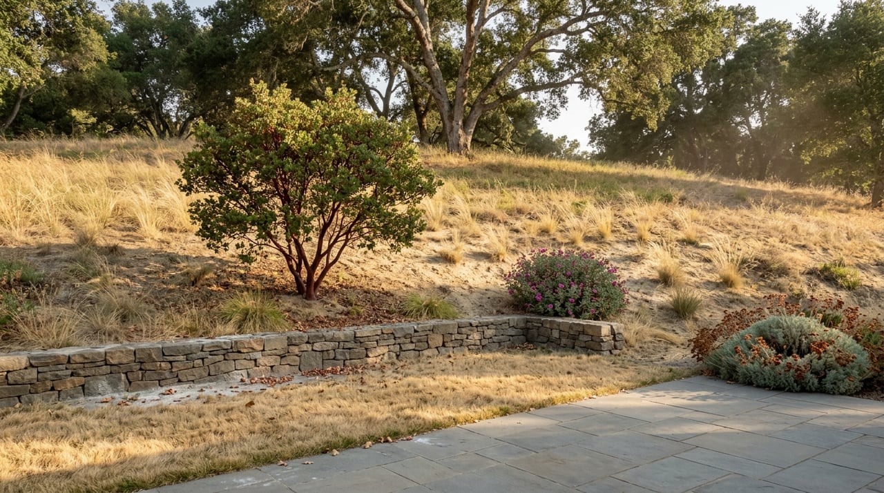
In early July, the city's newsletter carried a small item about brush removal at Augustin Bernal Park, picked up the same week by the Pleasanton Weekly. It was the kind of update most residents scroll past. Twelve days later, a fire broke out in open grassland south of the city and burned more than a thousand acres before crews stopped it.
The two events are not officially connected. But read side by side, they explain something about Pleasanton's open space that neither story tells on its own: which hillsides the city has actually gotten to, and which ones still look exactly like the terrain that just burned.
A Grant Nobody Outside City Hall Was Watching
Pleasanton is removing hazardous vegetation in and around Augustin Bernal Park to reduce wildfire risk, work funded by a $1 million grant from the California Department of Forestry and Fire Protection. The city said in its July newsletter that work had begun and would continue through the summer months to create and maintain a "reduced fuel zone within the park and surrounding wildland-urban interface."
That phrase, wildland-urban interface, is doing real work in that sentence. It is not a description of the whole ridge system that wraps the south side of Pleasanton. It is the specific band where open space meets a fence line, a cul-de-sac, or a backyard. Fuel breaks placed there don't stop a fire from starting on the ridge. They give firefighters a place to hold a line before it reaches a house.
The Cinderella Trail inside Augustin Bernal Community Park saw its own trail work logged on June 24, according to onX/MTB Project's trail conditions log, a reminder that maintenance on this particular park has been active on multiple fronts this summer, not just the fuel crews.
Twelve Days Later, an Actual Fire Broke Out Nearby
The Little Fire broke out around 2:41 p.m. on July 21 in the area of Little Valley Road and Hubbard Lane south of Pleasanton, southeast of the Callippe Preserve Golf Course. It spread to 50 acres within roughly 25 minutes, then 150 acres by 3:30 p.m., 700 acres by 4:35 p.m., and 950 acres by 6:35 p.m. By the time the numbers stopped moving, the fire had burned 1,007 acres.
"I saw the smoke coming down the hill."
That's how Pleasanton resident Sue Fox described the afternoon to ABC7. She wasn't near a wildland trail. She was on her own street.
At the incident's peak, evacuation orders and warnings affected more than 10,800 people and 3,282 structures, including areas in Sunol and around Ruby Hill in Pleasanton. Containment climbed fast once crews got ahead of it: Cal Fire reported the blaze at 60 percent contained by the evening of July 22. All evacuation orders tied to the Little Fire were lifted at approximately 5:13 p.m. that same evening, less than 24 hours after the fire had grown past 950 acres, and the city credited the coordinated response with protecting nearly 2,000 homes and structures from the fire itself. One firefighter suffered minor injuries when a Cal Fire engine rolled over and was released from the hospital the same day.
Mayor Jack Balch put words to what made the speed of it alarming. "We have seen fast-moving fires throughout the state," he said, describing the conditions that afternoon as low humidity, high heat, and grassland that caught fast once the flames reached drier brush and trees.
Same Hills, Different Treatment
Here is the part that doesn't show up in either story told separately. The fuel work at Augustin Bernal is targeted, funded, and already underway. The ground the Little Fire actually burned, the grassland near Little Valley Road and Hubbard Lane, was not part of that grant. It's a different stretch of the same general terrain, the kind of open, grazing-land hillside that surrounds Pleasanton on more sides than most residents think about on a normal Tuesday.
That's not a criticism of the city's approach. A million-dollar grant can't treat every acre of chaparral and grassland ringing a city this size, so the money goes where it does the most good: the interface strip that sits directly behind homes, where a controlled fuel break can be the difference between a hillside fire and an evacuation order. Augustin Bernal Community Park includes about five miles of trails extending from the ridge down to the residential areas along Foothill Road, which is exactly the kind of edge that fuel-break funding is built to protect. The Little Fire simply started somewhere else, in terrain that hadn't received the same treatment, and it showed how quickly that untreated ground moves.
If you live along that Foothill Road edge, or anywhere else within sight of the ridge, the useful takeaway isn't alarm. It's specificity. Ask which parcels near you sit inside a funded fuel-reduction zone and which ones are still open grassland waiting their turn.
What's Actually Open on Golden Eagle Way Right Now
For residents who use these trails regularly, the practical questions are simpler: is the park open, and does anything cost money now that didn't before.
Augustin Bernal Park is a 237-acre park located at 8200 Golden Eagle Way, and it connects directly to the much larger Pleasanton Ridge Regional Park, run by the East Bay Regional Park District rather than the city. The two systems have different rules, which trips people up more than the acreage does.
| Augustin Bernal Park | Pleasanton Ridge Regional Park | |
|---|---|---|
| Managed by | City of Pleasanton | East Bay Regional Park District |
| Size | 237 acres | 5,271 acres |
| Main access | 8200 Golden Eagle Way | Foothill Road staging area |
| Resident cost | Free with proof of residency | Free, open to the public |
| Non-resident cost | Weekly pass required, effective July 1, 2024 | Same as resident, no pass system |
The access change at Augustin Bernal took effect in mid-2024, and Pleasanton residents can still get in at no charge but must show proof of residency at the gate. Non-residents pay for a weekly pass rather than being turned away outright, which is a detail that surprises a lot of first-time visitors who assumed it was open to anyone off Foothill Road.
Once inside, the named trails worth knowing are the Ridgeline Trail, which meets the Thermalito Trail at a marked T-junction near the ridge, the Golden Eagle Trail climbing from the staging area, the Valley View Trail with panoramic views back over the city, and, on the EBRPD side, Sinbad Creek Trail, which runs through denser vegetation and stays noticeably cooler on hot summer afternoons. The Castleridge Trailhead offers another entry point into the same Pleasanton Ridge network.
None of these trails were affected by the Little Fire's footprint. The fire burned in a different stretch of open land to the south. But the fuel work at Augustin Bernal, funded and scheduled through the summer, is happening on the exact type of terrain that just proved how fast it can move.
The Leash Rule That Doesn't Match Your Sidewalk
One more piece of local knowledge that has nothing to do with fire and everything to do with why these particular trails feel different from a neighborhood walk. Pleasanton's leash law dates back to 1989 and requires dogs to be restrained by a leash no longer than six feet anywhere in a public place. The exceptions on the books have historically been the off-leash area inside Muirwood Park and the trails themselves at Augustin Bernal, Pleasanton Ridge, and Shadow Cliffs.
More recent guides to Pleasanton Ridge describe the rule a little differently. One current guide notes that dogs need to stay leashed only in the developed areas near parking and main trailheads, while other hiking-with-dogs sites describe leashes as required throughout. The disagreement between sources is real enough that the safest approach is the simple one: bring a leash to Golden Eagle Way or the Foothill Road staging area even if you plan to unclip it once you're past the trailhead, and check the posted signage at the gate, since that's the version of the rule that actually applies on a given day.
Heading Into the Fall
The city's own language describes the Augustin Bernal fuel work as continuing through the summer months, which means crews and equipment will likely still be visible on that hillside for weeks yet. That's a good sign, not an inconvenience. It means the work that was underway twelve days before the Little Fire tested a nearby hillside is still ongoing on the one behind Golden Eagle Way.
If you spend your weekends on these trails, the Little Fire is worth remembering less as a scare and more as a marker. It drew a clear line between the ground that's been treated and the ground that hasn't, on hills most of us walk past without asking which side of that line we're on.
Questions like that, about how a specific hillside, fuel zone, or open-space edge actually affects the neighborhood around it, come up often in conversations with people considering a move to this side of the East Bay. If you're weighing what a property near the ridge really means day to day, Cynthia Money and The Money Group work this market year-round and are glad to talk it through. Request Your Personalized Consultation whenever you're ready.